Comprehensive plans are long-term planning documents that define a community’s priorities, goals, and actions for the next 20 years. New Market’s plan will address land use, housing, economic development, and transportation.
An Economic Development Strategy will be prepared alongside the Comprehensive Plan. It will focus on revitalizing the downtown corridor and identifying the Town’s economic drivers.
Each step builds on the last. Public involvement and stakeholder engagement will inform the work throughout the planning process.
01 / Learn From Our Past
New Market EXPERIENCE
The Town, its consultants, Steering Committee, and volunteers will document New Market’s history and past experiences so the plan can build on that rich history. This includes stakeholder interviews and the collection of past data and documents.
02 / Understand Today
New Market NOW
Residents and visitors will share how they feel about the Town today. The Town, its consultants, Steering Committee, and volunteers will use that input to understand current conditions and assess the feasibility of community needs and aspirations.
03 / Define Our Direction
New Market VISION
A clear understanding of trends and needs will help the community define its vision, goals, and objectives. These will guide the development of specific, measurable, achievable, relevant, and time-bound recommendations.
04 / Put The Plan To Work
New Market NEXT
Completing the plan is only the beginning. The document will provide directions and details for achieving the community’s vision, one step at a time.
State Of The Town
Understanding New Market Today
Research on the Town’s people, places, housing, economy, and infrastructure helps ground the community’s choices for the future.
Draft / June 15, 2026
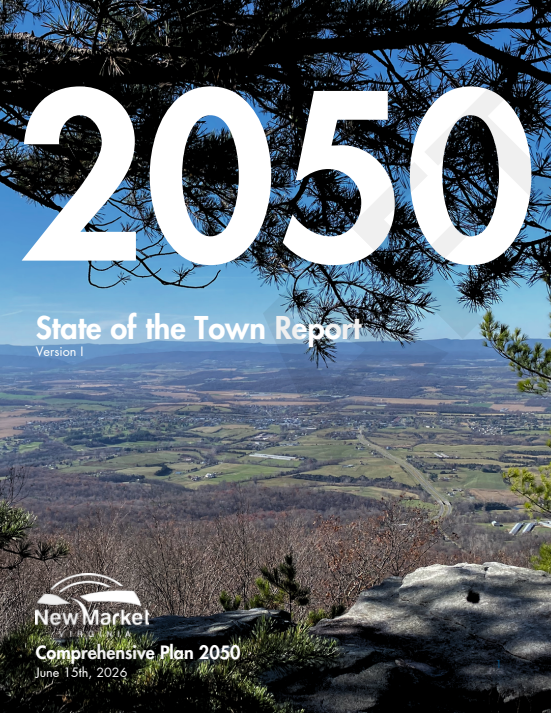
State Of The Town Report
The first phase of research brings together the Town’s people, housing, services, and resources. It provides a shared starting point for community engagement and further analysis.
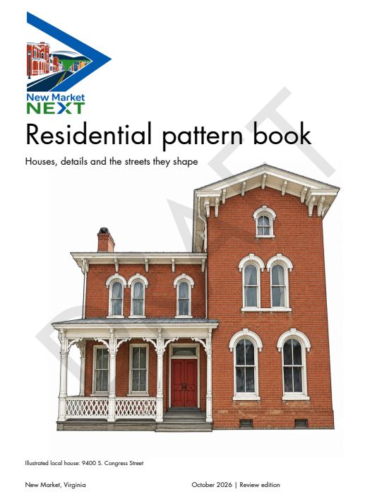
The pattern book considers New Market’s houses, architectural details, and the streets they shape. Local examples help inform discussion about housing and the character of the Town.
These are excerpts from working drafts. Findings may be revised as the planning process continues.
A Closer Look At Land Use
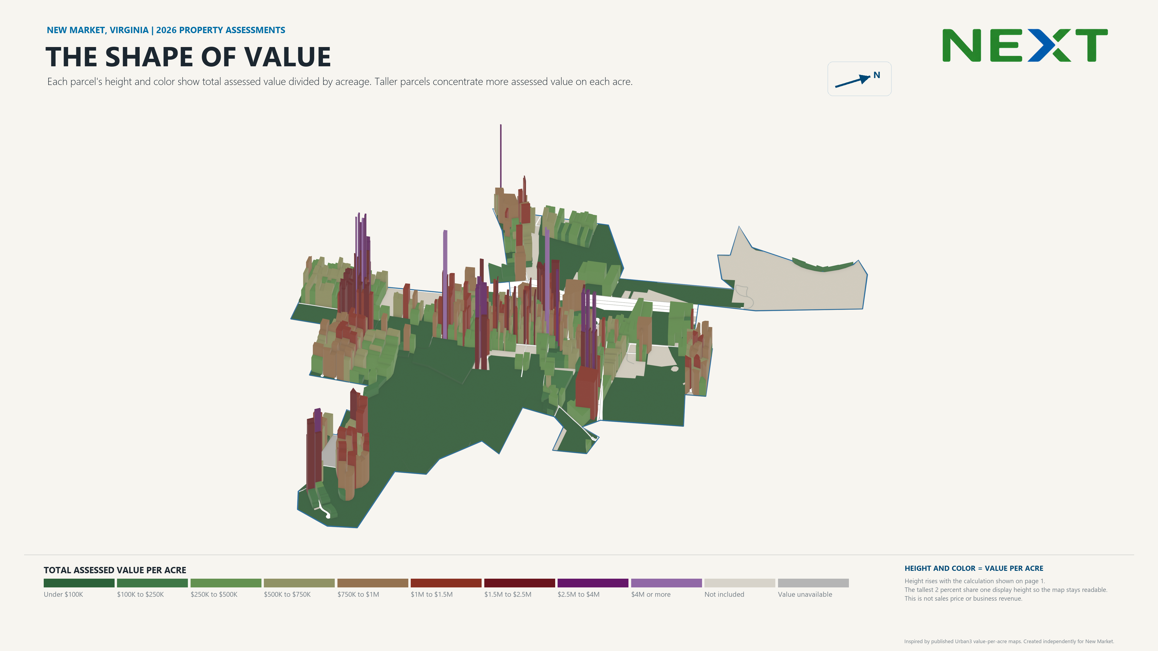
The Shape Of Value
This project graphic compares total assessed property value per acre. Taller parcels represent more assessed value on each acre, helping show how different patterns of development use land.
Assessed value is one measure to consider alongside community needs, services, and the character of a place.
2026 Property Assessments · Project Research Graphic
Get Involved
Local Knowledge Shapes The Plan
Comprehensive planning relies on the community’s insights and vision. The team is working with citizen groups to establish relevant, achievable goals and actions.
Take Part In The First Round Of Engagement
The project’s first round of outreach includes National Night Out and Crossroads events. You can also share your perspective online between events.
A public engagement plan will provide meeting schedules, engagement goals, and feedback from the Steering Committee.
Mining Of Past Results
Meeting notes and survey results from past efforts will be reviewed and cataloged so previous community input remains part of the planning record.
Project Website
This website will be updated at major milestones and as events are scheduled. Return to learn about the work and where the project is in the planning process.
County & School Board Meetings
Meetings with County staff and the School Board will address data needs and shared planning responsibilities.
Public Kick-Off Meeting
A public kick-off meeting will introduce the project, schedule, and engagement opportunities.
Community Survey
A community-wide survey, developed with Town staff and the Steering Committee, collects input on residents’ priorities, perceptions, and needs. Take The Town Survey
Public Engagement Events
Up to five public events are planned to gather feedback on draft findings and recommendations. These may include open houses and pop-ups at local fairs and festivals. Event details will appear as they are scheduled.
Stakeholder Meetings
Three rounds of stakeholder meetings will raise awareness and help develop the survey, brainstorm goals and recommendations, and refine tasks and actions.
Scroll through the topics to explore New Market. The map will follow the topic you are reading. Open the legend to explore its symbols at your own pace.
Explore New Market and its town boundary within the Shenandoah Valley.
02 / Town Connections
New Market Overview
Start with an overview of New Market’s transportation network and connections to the surrounding area.
03 / Everyday Destinations
Community Features
Explore commonly visited destinations, including emergency services, education, recreation, and community infrastructure. These places connect residents to resources and support their quality of life.
04 / Land & Water
Environmental Resources
View prime farmland, Agricultural and Forestal Districts, conservation easements, and waterways. The wildlife corridor connects valuable habitats and helps reduce conflicts between people and wildlife.
05 / Environmental Conditions
Environmental Risks
Explore the 100-year and 500-year floodplains around the Town and critical slopes that may be susceptible to erosion.
06 / Our Shared History
Historical & Cultural Resources
Discover battlefield areas, historic buildings and districts, and barns that reflect New Market’s history. These resources help connect the Town’s past to its future.
07 / How Land Is Used
Current Land Use
Explore public lands, forests, residential areas, downtown parking, and other existing land uses in and around New Market.
08 / Investment & Resources
Economic Development
See Shenandoah County’s identified future economic development sites and long-range change areas. The map identifies New Market for infill and investment, with surrounding areas identified for agriculture and public resources.
09 / Zoning & Development
Planning & Development
Explore current zoning and zoom in for details such as address points and parcel lines. Zoning establishes the types of uses allowed on land.
New Market In 3D
See The Town From A Different Perspective
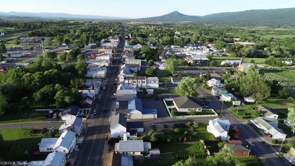
Explore New Market’s terrain, buildings, and streets in three dimensions. The town boundary follows the ground so you can see where it sits within the landscape.



Leave A General Comment
Have Something Else To Share?
Between public engagement events, use the project’s original comment box to share your thoughts on New Market.
Open Comment Box In A New Tab ↗